Multi Destination Pathfinder
A downloadable tool
NOTE: You ONLY need to use the RoadBuilder.java file. Keep the other files in the project as they will be used by RoadBuilder.java.
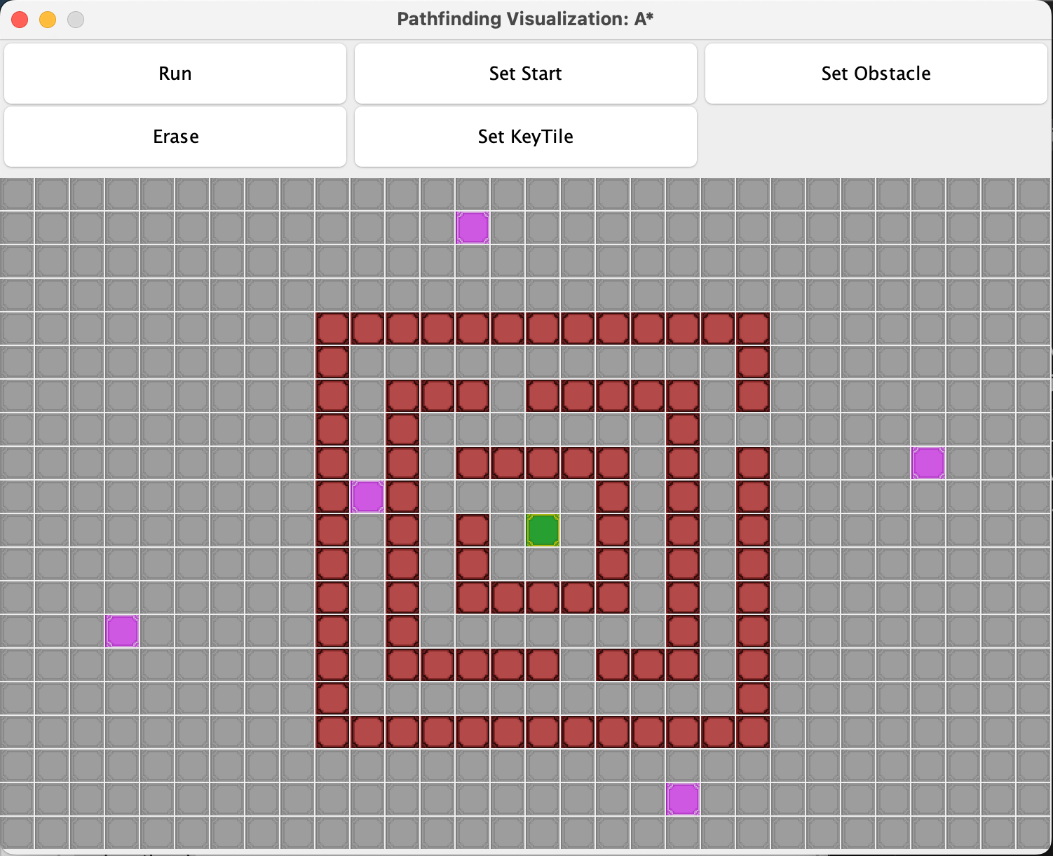
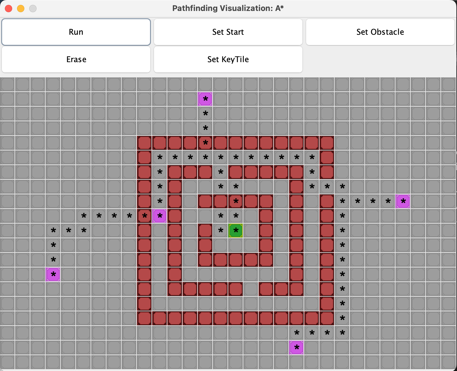
Most of your interaction with the program can be done through the interface that appears when you run RoadBuilder.java. Simply Press the button for Set Key Tile, Set Obstacle, Set Start, or Erase. Then click on the tile you wish to convert to that type.
(TIP: Try clicking and dragging Start and KeyTiles rather than trying to erase and replace them)
This program has many uses on many scales, try making a model of your state with key cities you think should be connected by train lines, or try modeling a park with water fountains and other key locations that should be accessible by a path
If you wish to customize your experience you can edit the variables listed under “// set variables”.
We have Breadth First Search, A*, and Dijkstra’s Algorithm implemented. To use any of these please change the String name to “BFS, “A*”, or “Dijkstra” respectively.
When entering coordinates for “goal”, “start”, “obstacles”, or “keyTiles”, the format is {x-axis, y-axis) or {column, row}.
Download
Leave a comment
Log in with itch.io to leave a comment.